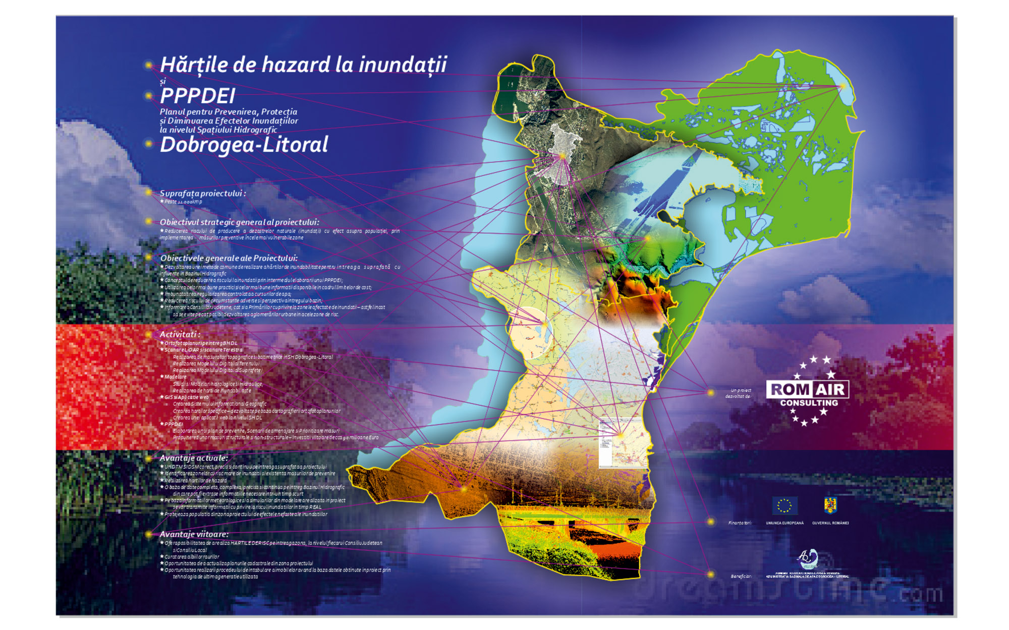
Plan for prevention, protection and mitigation of flood effects, Dobrogea-Seaside region

Through this project, respectively the creation of flood maps, we will delimit the floodable areas from the areas of interest at different probabilities - considering 6 levels of probability. As a consultant, we consider it essential to propose the delimitation of areas of interest according to the 6 probabilities.
dsm4a-1
IMG_4221-2
DSC_0030-1
Barca-pe-valuri-1
5-2
04-1

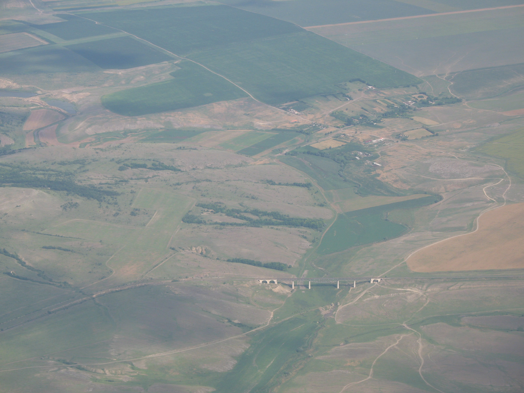
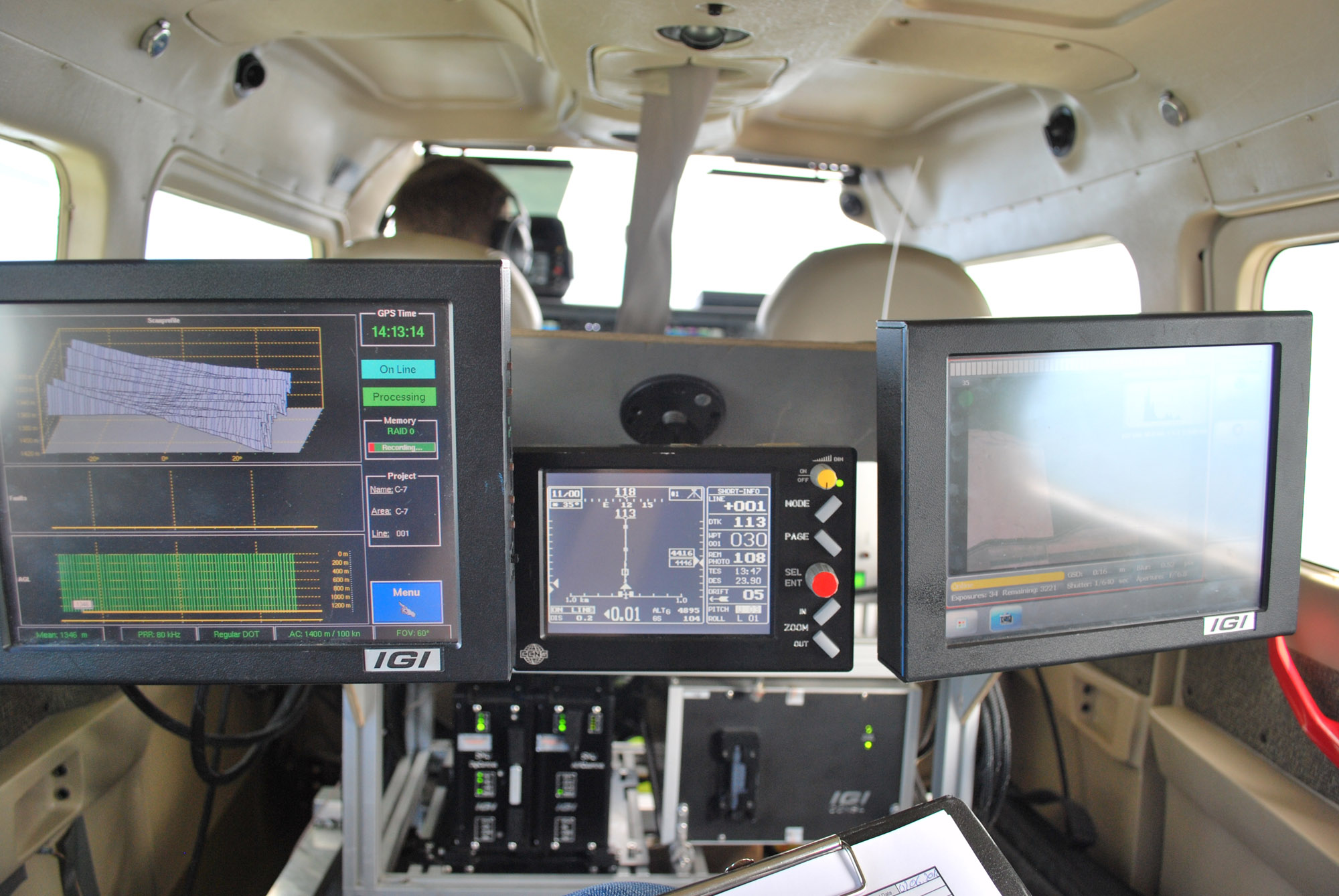
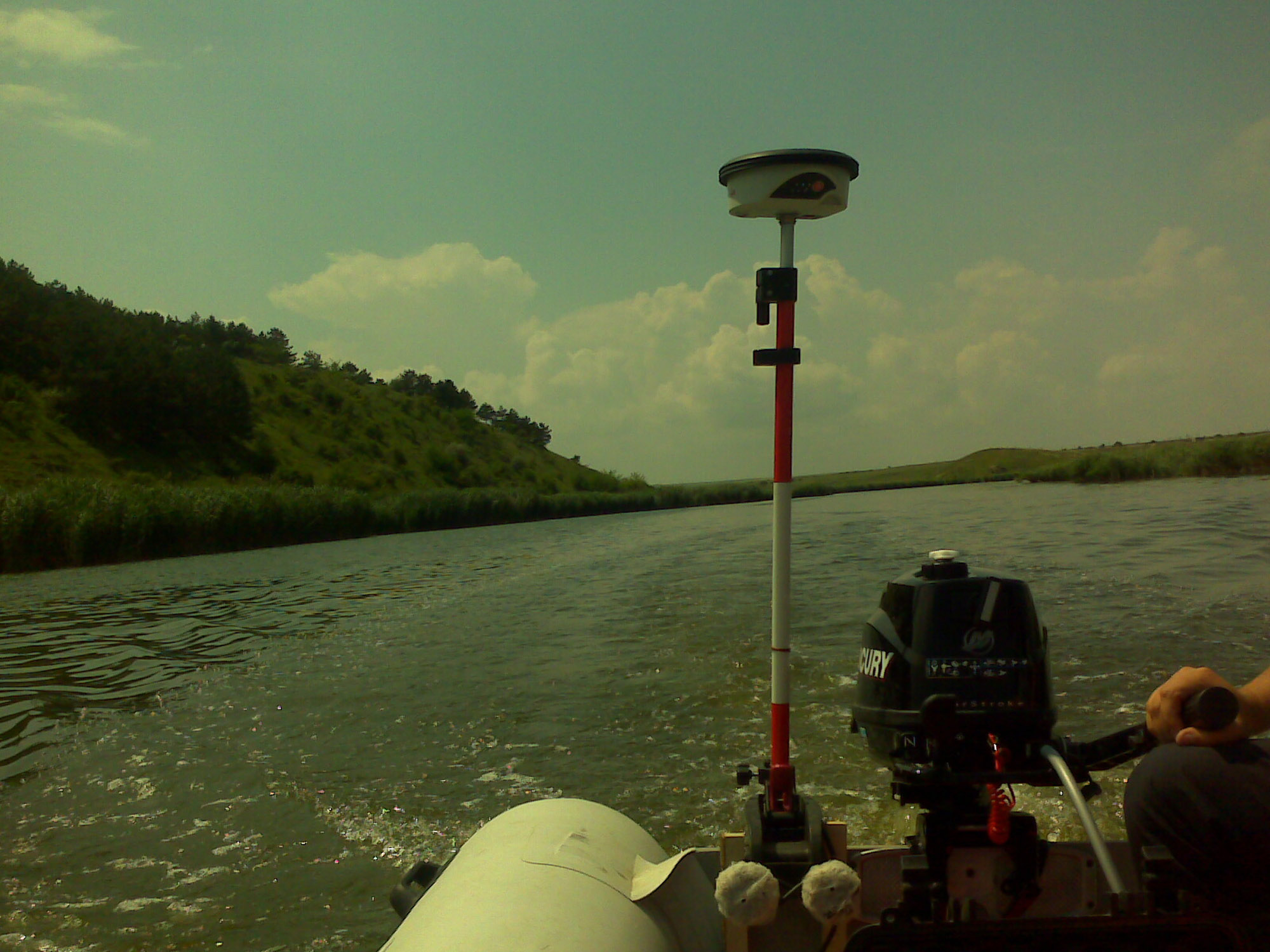
The plan for the prevention, protection and mitigation of flood effects in the Dobrogea-Seaside hydrographic area is an important part in the implementation of the Flood Risk Management Plan, because knowing the causes of floods and their propagation area can be proposed measures to locate, reduce or prevent flood effector.

Through this project, respectively the creation of flood maps, we will delimit the floodable areas from the areas of interest at different probabilities – considering 6 levels of probability. As a Consultant, we consider it essential to propose the delimitation of areas of interest according to the 6 probabilities.

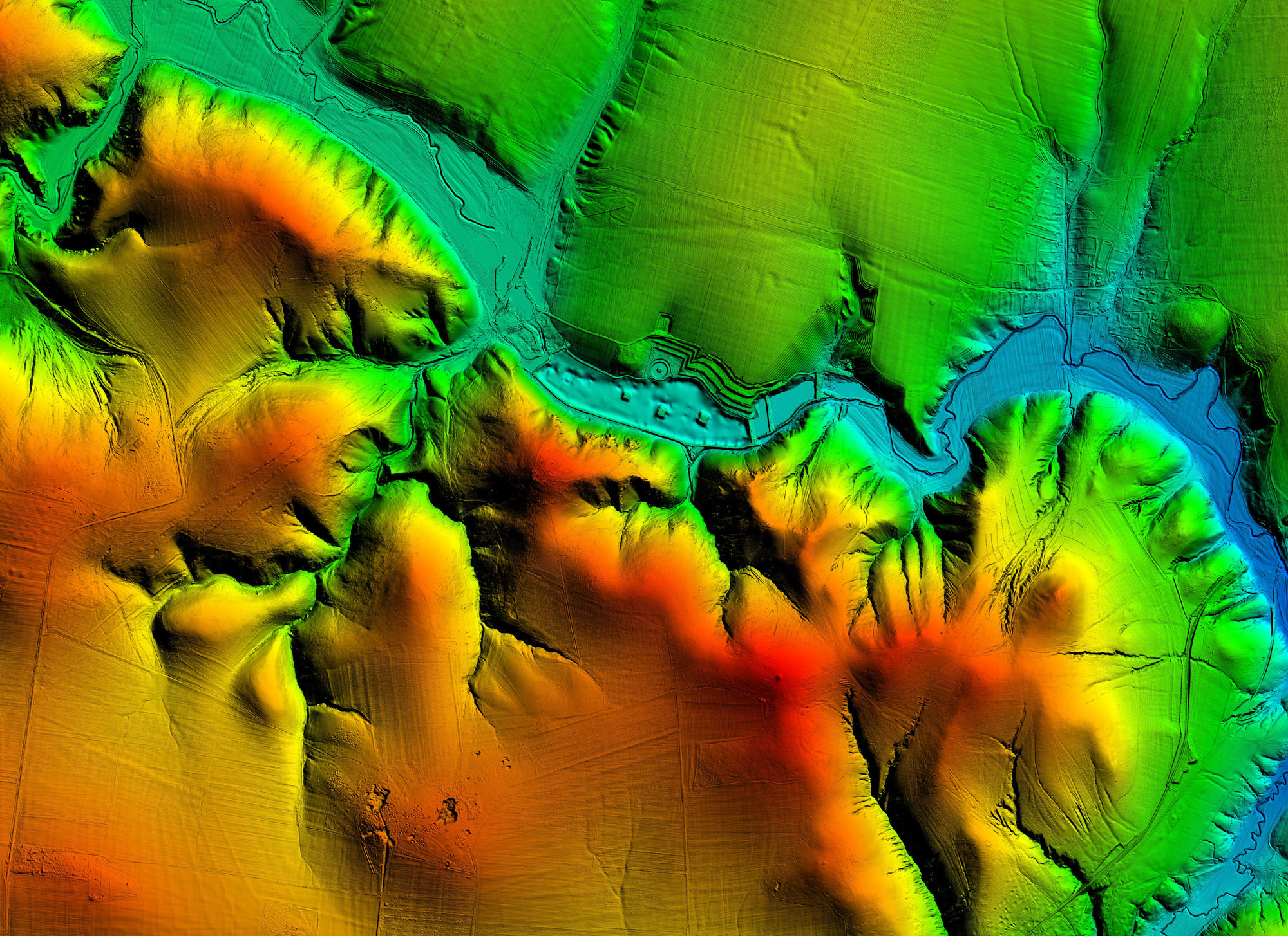
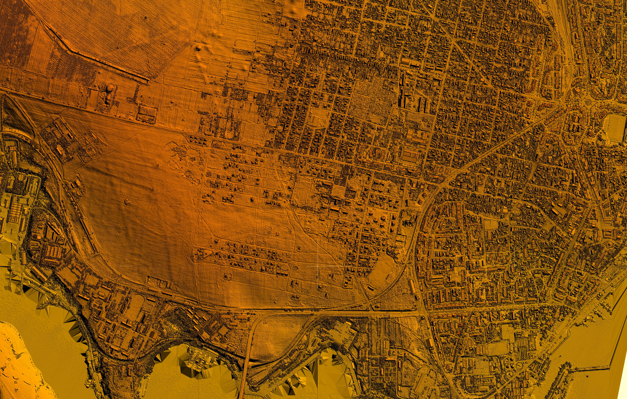
An objective of the project is to create a detailed hydrodynamic model of the Dobrogea-Seaside hydrographic space and to make the Flood maps, respectively the Plan for the prevention, protection and mitigation of flood effects in the Dobrogea-Seaside Hydrographic Area.

Name:
Flood hazard maps and the plan for the prevention, protection and mitigation of flood effects in the Dobrogea Seaside Hydrographic Area
Beneficiary:
ABA Dobrogea Litoral
Services:
Technical assistance
Duration:
27 months
Funding source:
POS Environment
Stage:
Completed
Location:
Dobrogea-Seaside region

ROMAIR CONSULTINGHeadquarters
4 Mr. Ștefan Sănătescu Str.,

District 1, Bucharest
GET IN TOUCHRomair on Social Media
ROMAIR CONSULTINGHeadquarters
4 Mr. Ștefan Sănătescu Str.,

District 1, Bucharest
OUR LOCATIONSWhere to find us?
GET IN TOUCHRomair on Social Media