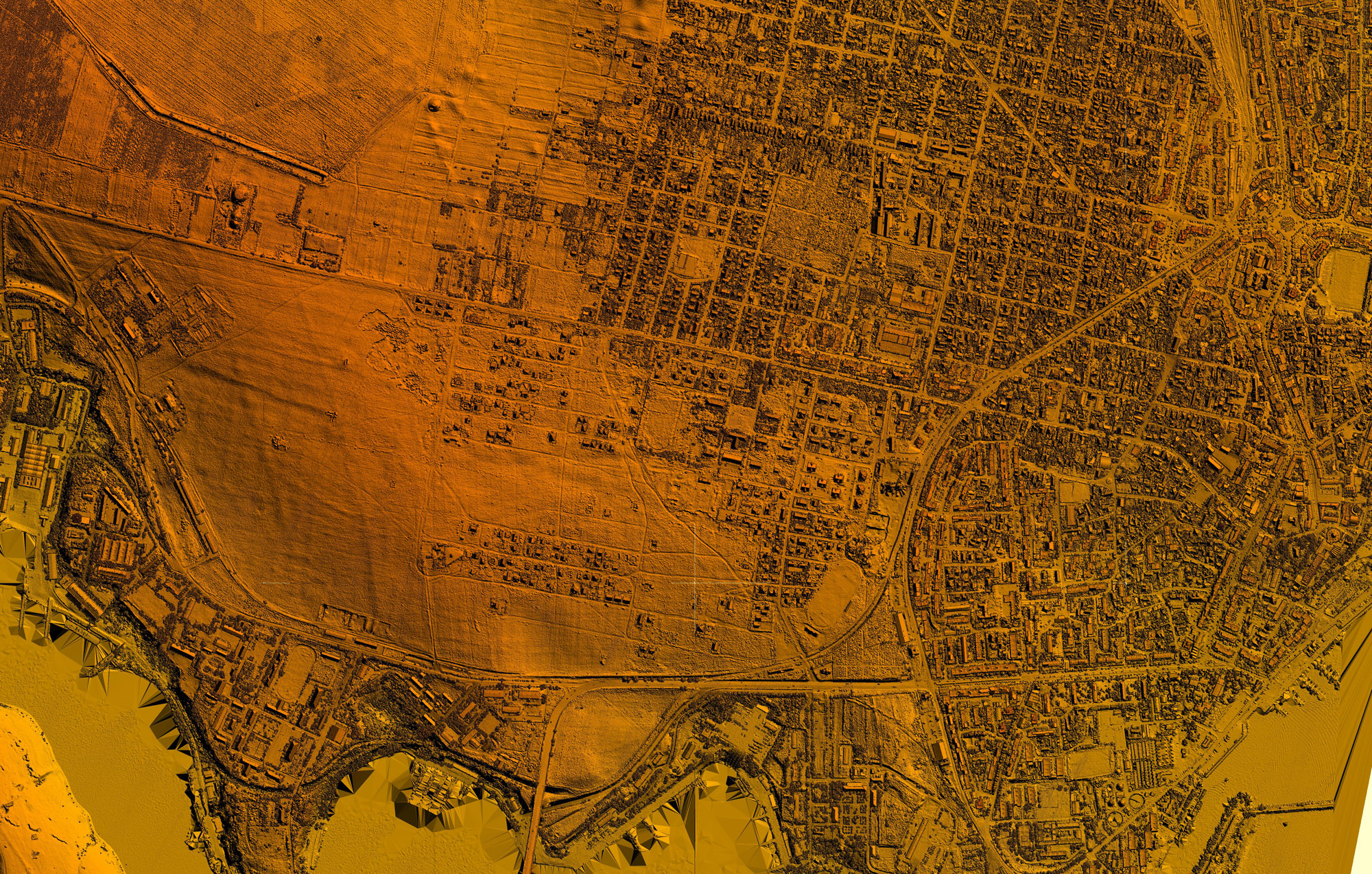
Preparation of the location plan for the buildings managed by the Focșani Local Council in order to perform real estate advertising, by registering the property, the owner - Focșani municipality and, as the case may be, the administrator, concessionaire, user or other real estate management operations .
HomeCategory
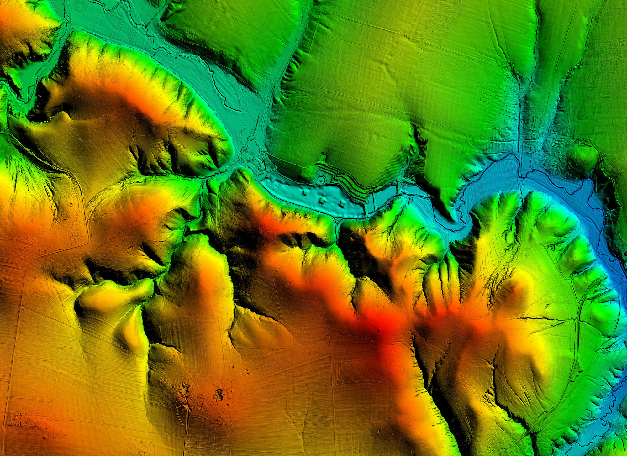
Geodesy, topography, GIS, photogrammetry and scanning (LiDAR)
Preparation of a land book for roads, lands and constructions belonging to the public and private domain of Călărași county; Updating the existing land register for the buildings belonging to the public and private domain of Călărași county, dismantling of buildings belonging to the public and private domain of Călărași county to be rented, leased or given for administration or free use.
Elaboration of the documentation regarding the natural risk maps that will include drawings composed of maps and plans.
Drawings composed of maps and plans.
Services for the elaboration of the documentation regarding the natural risk maps that will include: Drawings composed of plans-maps and plans.
Analysis of areas of interest and collection of input data from the mayoralties in question, respectively from the Iasi County Council; In-situ, geotechnical, geodetic and topo-cadastral studies; Drafting hazard maps for areas affected by landslides;
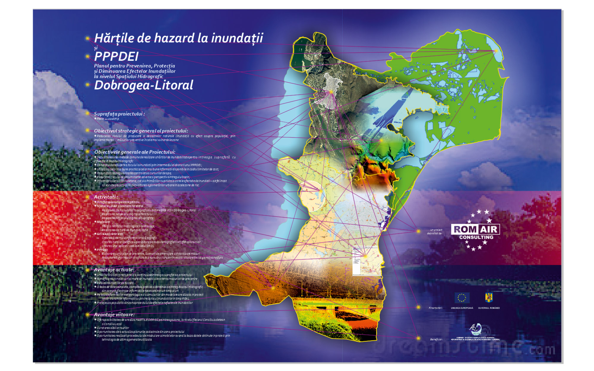
Through this project, respectively the creation of flood maps, we will delimit the floodable areas from the areas of interest at different probabilities - considering 6 levels of probability. As a consultant, we consider it essential to propose the delimitation of areas of interest according to the 6 probabilities.
Development of a Geographic Information System with the inventory of information specific to the Real Estate and Urban fields in the city of Mizil; Project area - 500ha, urban.
The object of this project is the creation of a Database (GIS) specific to the Real Estate and Urban fields, which will ensure the good development of the public/administrative activities at the level of Drobeta Turnu-Severin Municipality. Project area - about 300 ha, urban.
The need for this project arose as a result of the floods produced in 2005, 2006 and 2007 and a particularly serious series during which the warning levels on rivers were frequently exceeded and on more and more areas in the Prut basin. -Barlad. Therefore, the main objective was to ensure a minimum standard of protection of inhabited areas, urban areas. The options analysis highlighted the need for a combination of measures to achieve this goal, measures to mitigate flood waves upstream of urban areas and increase the transport capacity of the riverbed through areas to be protected.

